Property Development Institute Special
Archistar Starter plan with Nearmap aerial imagery
Now only $595/month (+GST). Includes everything in the Archistar Starter plan plus Nearmap aerial imagery*:
- Single state access
- Unlimited planning details
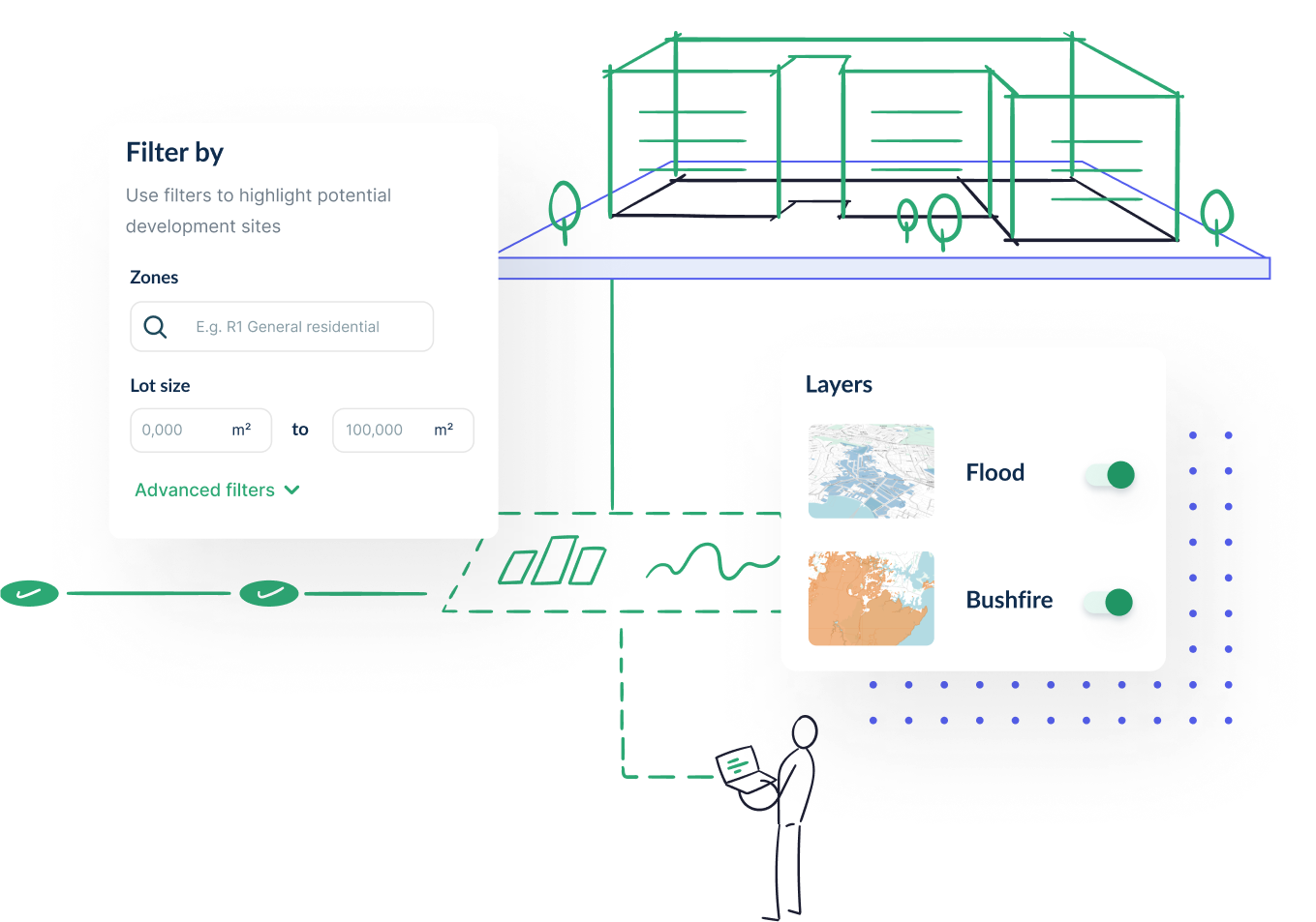
- Basic site finding tools
- Basic due diligence & feasibility
- Basic design generation
- Nearmap aerial imagery
Lock in the offer today

Terms & Conditions
*All prices exclude GST. To lock in this price for a longer term, contact us directly to organise a price-locked contract period (maximum of 60 months). Upon cancellation, this rate will no longer be available. For new customers only.
The Archistar Platform
Stay up-to-date with Archistar's progress
Top 7 Digital Building Permit Tools
Building permits are granted by public authorities to confirm that the construction phase has been authorized. Building permits can seem like a maze of paperwork and regulations, but digital tools can streamline the process for both local governments and property...
How Steep is a 6% Slope?
One of the first things a property developer must do before embarking on a new project is to consider the slope of the land. Discover how much slope is acceptable. The reality is that many lands have diverse terrains, making property development not a straightforward...
How Do I Calculate the Incline of a Slope?
Before doing any design and construction work, property developers must first understand the natural lay of a land. And one crucial area they must look into is the slope’s incline. A landscape's incline, or its degree of steepness, impacts the direction of property...


